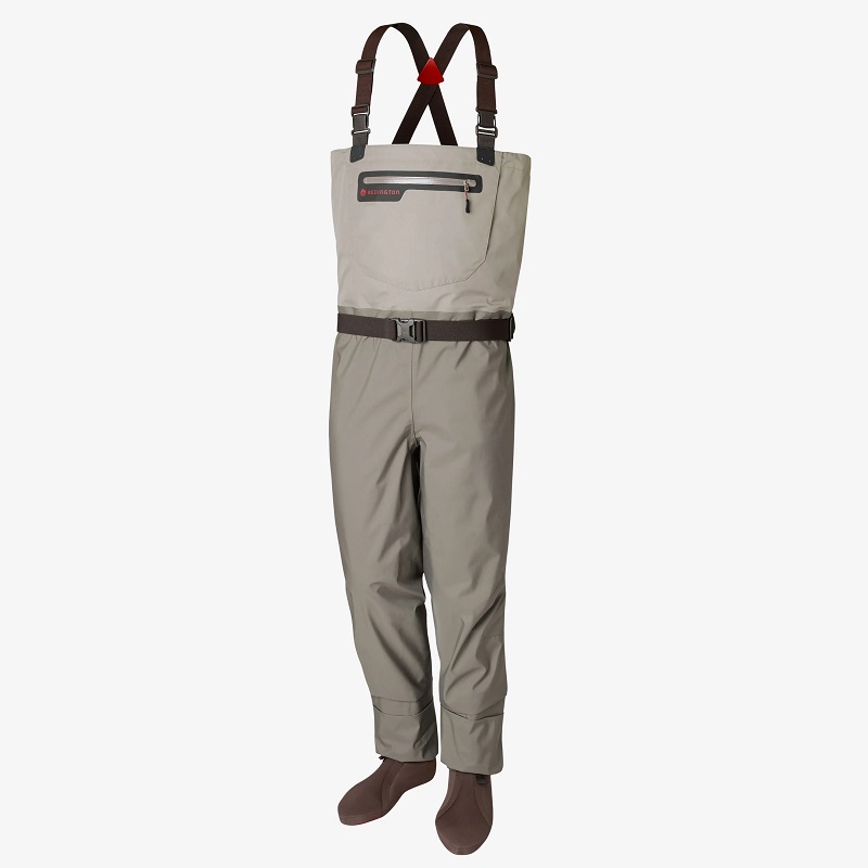
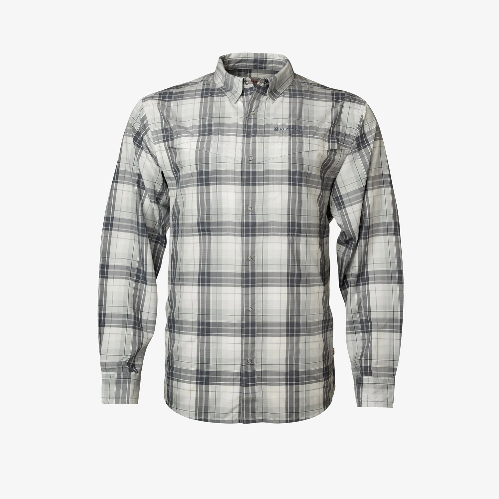
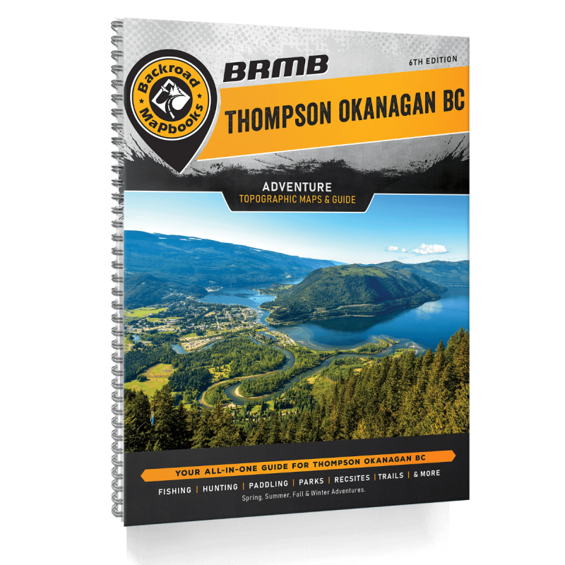
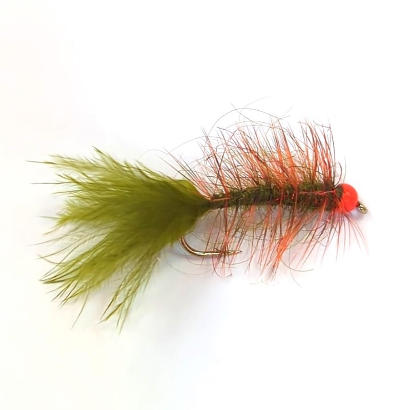
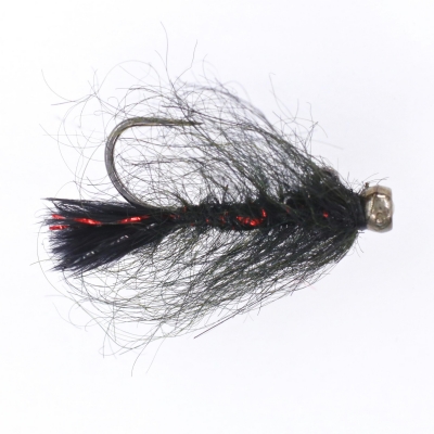
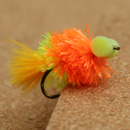
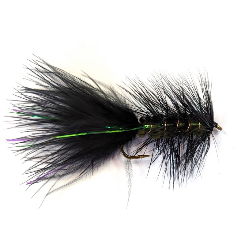
Product Categories Fly Rods (17) Fly Reels & Spools (21) Rod & Reel Combos (9) Fly Lines (38) Leaders & Tippet (23) Accessories (95) Flies (483) Fly Tying (231) Wading Gear (10) Clothing (23) Books, Maps, Mapbooks (23) Clearance Items (11) Best Selling Flies Little Fort Leech Out of stock $3.00 Add to wishlist Select options Quick view Ultimate Boatman In stock $3.50 Add to wishlist Select options Quick view Goddard Caddis In stock $3.00 Add to wishlist Select options Quick view Anti-Static Chironomid – Wine Rib In stock $2.50 Add to wishlist Select options Quick view Pumpkin Head – Hot Bead Olive In stock $3.00 Add to wishlist Select options Quick view Balanced Leech – Black / Black Tungsten Bead In stock $3.50 Add to wishlist Select options Quick view Tequila Sunrise Booby In stock $3.50 Add to wishlist Select options Quick view Flash-A-Bugger In stock $3.00 Add to wishlist Select options Quick view Anti-Static Chironomid – Copper Rib In stock $2.50 Add to wishlist Select options Quick view Anti-Static Chironomid – Black Rib In stock $2.50 Add to wishlist Select options Quick view Gomphus Dragon – Natural Gray In stock $3.00 Add to wishlist Select options Quick view Mohair Micro Leech – Black / Blue Bead In stock $2.50 Add to wishlist Select options Quick view